
Bristol County Neighbors by Block
For one block, use the record that matches the question. The state parcel layer is strongest for mapping nearby tax parcels. The applicable Registry of Deeds supplies recorded instruments and party names. An old directory or Sanborn sheet can establish a dated historical setting. The Massachusetts voter tool is an individual status check and cannot be used to build a street or ZIP list. A Bristol County neighbor result should therefore say what the source records, its date, and what it cannot show.
| Source | What it shows about a Bristol County block | Access |
|---|---|---|
| MassGIS parcel map | Visible parcels, assessor-derived fields, map context, and available owner value | Online map, municipal assessor follow-up |
| Registry of Deeds | Recorded party roles, instruments, dates, book/page or certificate references | District index, image route, counter, request |
| MassMapper | Address placement, layers, nearby physical and administrative context | Online location and layer viewer |
| Historical directory | Dated household, subscriber, business, or street snapshot | Library, museum, archive, selected digital collections |
| Sanborn map | Building footprint, use, street geometry, and edition-date context | Library of Congress and local-history route |
An owner field may identify an assessor’s tax record association. It does not prove that a person lives at the parcel. A street or block may also cross a town, postal-place, or registry-district label, so compare the exact field used by each source.
Bristol County Neighbor Map Context
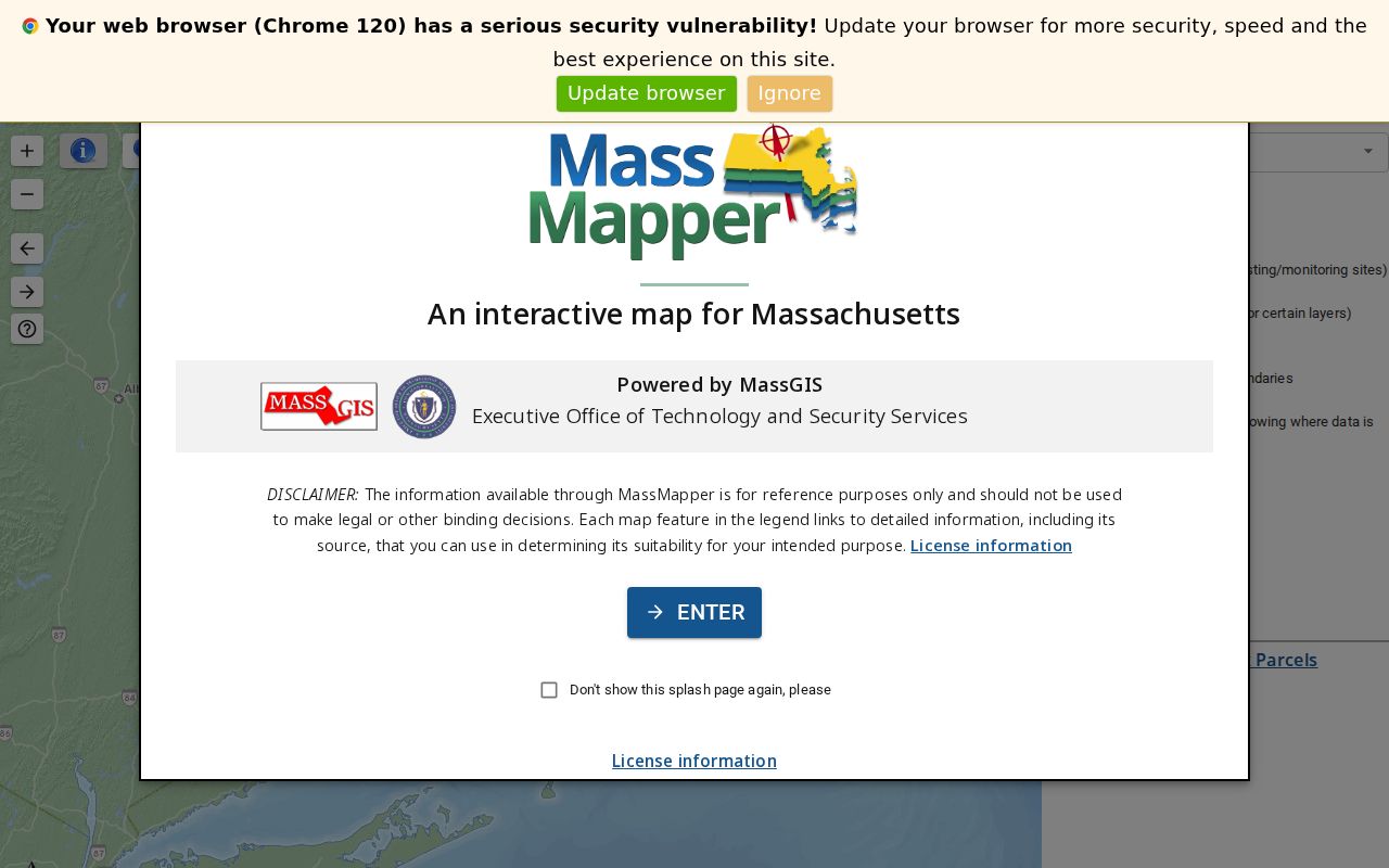
MassMapper accepts an address, ZIP, street plus town, landmark, municipality, community, or coordinates. It can overlay political and administrative, infrastructure, cultural-resource, conservation, coastal, imagery, and other layers. Those layers help describe where a block is in relation to a waterfront, historic area, or municipal edge. They do not establish informal neighborhood boundaries or who is living on a block.
The official MassMapper location and layer interface appears in this source image.
Use a dated layer as map context, then open the parcel or the original custodian record for any claim about a particular property.
Bristol County’s geography is layered. A legal municipality, village or community label, ZIP postal city, Census geography, and informal neighborhood can all describe the same area differently. That mismatch is a research clue rather than an error to smooth away.
Mapping a Bristol County Neighbor Block
The immediate-block method begins with a full address, not a person’s name. It stays focused on map and record relationships, then stops at the lawful public fields. For a full named street’s chain of instruments and address searching, use the Bristol County street directory rather than repeating that larger task here.
- Verify the delivery address and postal place through USPS, then retain the legal town required by the government record system.
- Locate the address in MassGIS or MassMapper and record the map date, parcel clue, site address, and available nearby parcel context.
- Use the parcel’s book/page or registry clue to select Northern, Fall River, or Southern Bristol based on the municipality.
- Search the Registry by party and date range, treating street search as a backup because not every instrument has a street field.
- For an older question, compare a dated directory or Sanborn map with the legal description, map index, and source date.
The process is address → postal-place check → map parcel → Registry district → party or instrument search → dated local-history source. Each arrow changes the kind of evidence, so a source note should preserve the transition rather than claiming a single all-purpose neighbor search.
Bristol County Neighbor Parcel Fields
The Massachusetts Interactive Property Map and Municipal Mappers include a Find Abutters function for adjacent parcels. After a parcel selection, enter a distance where the tool provides it and inspect the surrounding map. This is a useful nearby-parcel view. It is not a complete list of people associated with the block, and it cannot resolve the relationship between an owner, an estate, a trustee, or a mailing address without the underlying record.
- Parcel
- An assessor’s mapped tax and land unit, not automatically a complete legal title description.
- Situs address
- The physical location assigned to a parcel.
- Owner mailing address
- The tax-correspondence field, which can differ from the physical parcel location.
- LOC_ID
- A MassGIS location identifier that can help keep a selected map feature distinct in notes.
- Book/page
- A Registry locator for an instrument, not a summary of everything the instrument proves.
MassGIS warns that municipal assessor data may be newer than the statewide layer and that map lines are not authoritative. That warning is especially important where a block sits near a town or postal-place edge.
Bristol County Neighbor Block Labels
Bristol County block research works best when each Bristol County source keeps its own label. A Bristol County parcel can have a site address and mailing field. A Bristol County map can use Town and Community. A Bristol County postal check supplies a delivery city. A Bristol County Registry form requires the legal municipality. Each Bristol County label belongs in the same Bristol County note, rather than being replaced by one generalized neighborhood name.
| Bristol County source | Bristol County field | Bristol County purpose |
|---|---|---|
| Bristol County map | Location and map date | Bristol County physical context |
| Bristol County parcel | Site address and reference | Bristol County administrative context |
| Bristol County Registry | Town and instrument number | Bristol County legal-record route |
Bristol County Neighbor Community Routes
No single official countywide neighborhood-association or civic-block directory was located in the research. That gap should remain visible. It means a general claim that a named association represents a block would need separate municipal or organization verification. For a community-history question, the strongest documented routes are public agencies and local-history collections rather than an assumed neighborhood roster.
| Documented Bristol County route | What it can help with | How to approach it |
|---|---|---|
| Municipal planning, building, conservation, or historic office | Existing address-keyed permit, plan, hearing, or historic-designation records | Request by municipality, street, and date range. |
| Fall River Public Library local history | City archives, maps, selected directories, newspapers, and genealogy material | Use the Fall River Room or Community History Archive. |
| Old Colony History Museum | Southeastern Massachusetts and pre-1850 research material | Appointment route and research services are listed by the museum. |
| State Library and Archives | Directories, voting-list inventory, vital and court archival routes | Confirm collection coverage and access before visiting. |
That access chain supports local-history and civic-curiosity work without turning unverified organization material into a directory of Bristol County neighbors.
Bristol County Neighbor Source Comparison
Official records and commercial neighbor-search products answer different questions. A responsible Bristol County neighbor search gives the custodian, date, and field label for every result. It also leaves uncertain matches uncertain. An assembled name list can be stale or join people with similar names, while the map, Registry, library, and agency sources disclose their own narrower scope.
| Source type | Strength | Boundary |
|---|---|---|
| Official map or assessor source | Shows an administrative parcel association and dateable map context. | Not proof of occupancy or title. |
| Registry instrument | Records a legal filing, parties, date, and document reference. | Requires the document and, when needed, title examination. |
| Library directory or map | Supplies a dated historical snapshot. | Does not establish a present connection. |
| Commercial compilation | May offer a quick lead. | Accuracy, source date, and lawful-use limits can be unclear. |
The useful comparison is not a contest for a more complete block list. It is a check that a statement is limited to what a dated and identifiable source actually supports.
Bristol County Neighbor History by Date
A block changes with its date. In Fall River, a historical question can pair a city-directory edition, a Registry instrument, and a Sanborn sheet from the Fall River Room, Registry, or Library of Congress route. In Taunton, Old Colony History Museum and the Registry can provide a similar archival and property trail. The South Coast, river corridor, port-facing communities, and inland towns have different historical context, but broad local color should never become a claim about an individual household.
For each historical comparison, record the edition or map year, full address as printed, legal town, source type, and unresolved variation. This dated method is more reliable than using a current parcel label to fill a gap in a past block.
Bristol County Neighbor District Checks
Registry routing is a local feature of any neighbor research. Northern Bristol serves Attleboro, Berkley, Dighton, Easton, Mansfield, North Attleborough, Norton, Raynham, Rehoboth, Seekonk, and Taunton. Bristol Fall River covers Fall River, Freetown, Somerset, and Swansea. Southern Bristol covers Acushnet, Dartmouth, Fairhaven, New Bedford, and Westport. Select the district from the legal municipality, not from a ZIP or an informal neighborhood name.
Northern’s online recorded-land index notes coverage beginning in 1735 and has separate Land Court routes. Southern’s digitized old-index ranges begin with a 1690-1837 block. Fall River’s online index emphasizes 1956 forward, with older research available through the Registry. A dated block question may therefore need an in-person, phone, mail, fax, or archive channel after an online result ends.
Bristol County Neighbor Privacy Limits
Neighbors are not a public household category. Parcel and deed records do not establish every person at an address, a visitor, a protected resident, or a full set of private contact details. Massachusetts central voter-registry names and addresses are not public records under M.G.L. c.51, §47C, and the public voter form is limited to an individual status check. Utility and delivery information are not a source for this type of research.
Massachusetts Address Confidentiality Program participants use substitute mailing addresses. Do not use one source to try to reconstruct an address absent from another. Mark the limitation, use the custodian’s correction or access route if appropriate, and stop where the record law requires.